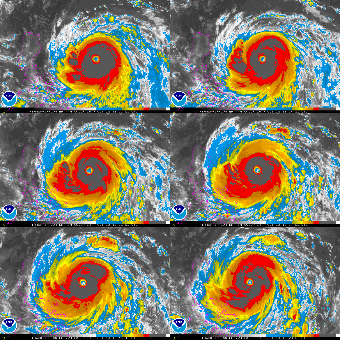
As of the most recent update from the Joint Typhoon Warning Center, minimum central pressures in Super Typhoon Haima had plunged to 900 hPa. That’s nearly as low as those for Typhoon Haiyan at peak strength (895 hPa). Haima is running in toward the northern Philippines packing maximum sustained winds of 160 mph with gusts to 190 mph (somewhat lower than Haiyan’s peak sustained winds of 185 mph). As a result, we have a storm following a similar track to the comparable strength 2013 super-typhoon which caused so much severe loss and damage during 2013.
(Haima strengthens over hotter than normal ocean waters as it tracks towards the Philippines. Image source: NOAA.)
Record Hot Global Ocean Conditions A Contributing Factor
Like Haiyan, Haima has emerged over much warmer than normal waters in the range of 1-2 C above average temperature. Warmer waters at depth have also helped…
View original post 400 more words


Global Climate Change is here, and worsening every day. We are experiencing 75-85 degree temps in Southwest, no rain.